This function calculates the Exclusive Economic Zone (EEZ) boundary for the Azores by buffering each island by a specified distance (default 200 nautical miles) and merging the resulting buffers to create a single EEZ polygon.
Usage
eez(crs = laea_azores_proj(), distance = 200)Arguments
- crs
Character or CRS object. The target coordinate reference system (CRS) for the EEZ output. Defaults to
laea_azores_proj()(a custom Lambert Azimuthal Equal-Area projection centered on the Azores).- distance
Numeric. The buffer distance in nautical miles (NM) around each island. Defaults to
200(200 NM, the standard EEZ definition). If another value is provided, it will be converted to meters.
Details
The EEZ is defined as the area 200 nautical miles from the nearest baseline of each island. This function:
Buffers each island by
distance × 1,852meters (default: 370,400 meters).Merges overlapping buffers into a single EEZ boundary.
Transforms the final EEZ to the specified
crs.
Examples
# \donttest{
library(ggplot2)
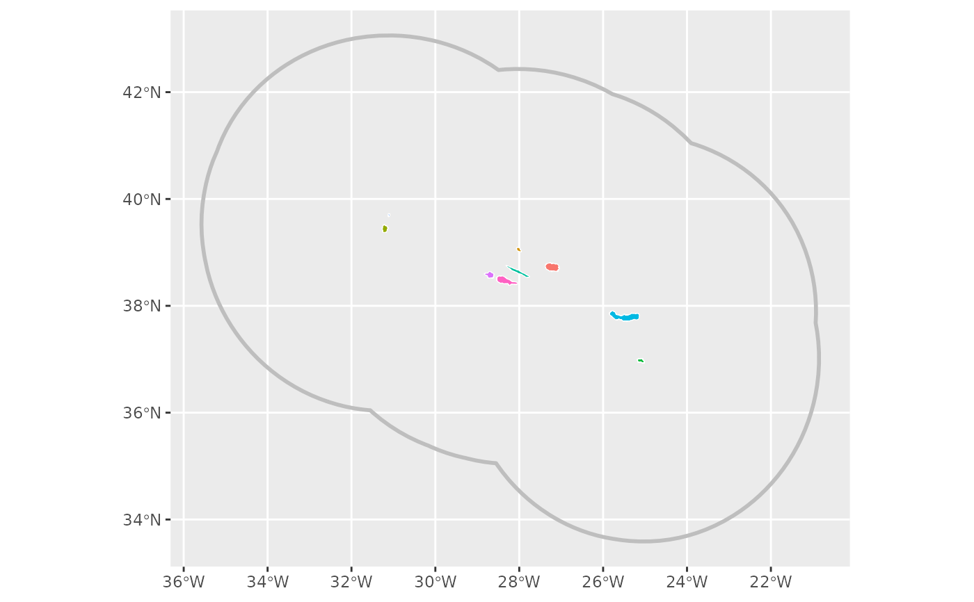
ggplot() +
geom_sf(data = eez(), fill = NA, linewidth = 1, col = "gray") +
geom_sf(data = districts(), mapping = aes(fill = district), col = "white") +
guides(fill = "none")
 # WGS 84 projection
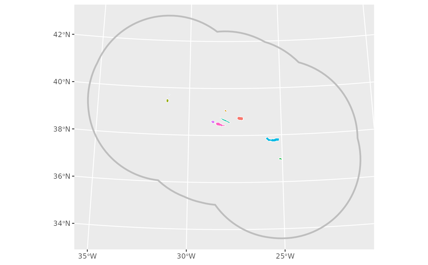
ggplot() +
geom_sf(data = eez(crs = "EPSG:4326"), fill = NA, linewidth = 1, col = "gray") +
geom_sf(data = districts(crs = "EPSG:4326"), mapping = aes(fill = district), col = "white") +
guides(fill = "none")# }
# WGS 84 projection
ggplot() +
geom_sf(data = eez(crs = "EPSG:4326"), fill = NA, linewidth = 1, col = "gray") +
geom_sf(data = districts(crs = "EPSG:4326"), mapping = aes(fill = district), col = "white") +
guides(fill = "none")# }